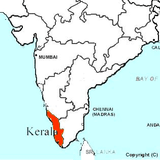
Map of India Showing Location of
Kerala State
|
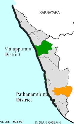
Map of Kerala Showing Location of
Pathanamthitta and Malappuram Districts
|
|
|
|
KERALA
State Capital : Thiruvananthapuram
Area of the State : 38,863 Sq. Km.
Population (1991 Census) : 29,032,828
Male Population : 14,230,391
Female Population : 14,802,437
Sex Ratio : 1040 : 1000
Principal Language : Malayalam (English widely spoken)
Urbanisation Rate : 26.44%
Literacy Rate : 91%
Minerals : Iemenite, Rutile, Monazite, Zircon, Sillimanite, Clay, Quartz sand
Soil types: Laterite Soil, Alluvial Red Loamy Soil, Red Sandy Soil
Human Total working population : 9.15 mln. nos.
Male working population : 6.80 mln nos.
Female working population : 2.35 mln. nos.
Maximum Temperature : 32xC
Minimum Temperature : 24xC
Average annual Rainfall : 3000 mm
|
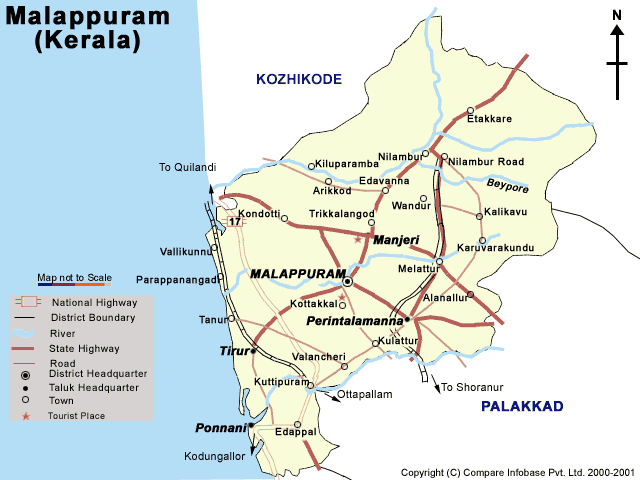
Malappuram District
(literally meaning a terraced place atop hills)
|
|
|
District area - 3550 sq km
Climate - Humid on the coast, tropical, with
oppressive hot season in the interior.
Temperature - (Mean max - 32 to 37 deg C, Mean
Min - 22 deg C)
Annual Rainfall - 290cm
Area: 3550 sq. km
Population: 3,096,000
Altitude: Lowlands: Sea level
Highlands: 477 - 2340 m above sea level
Crude Literacy Rate- 78%
|
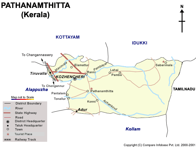
Pathanamthitta District
(a combination of two words Pathanam and Thitta which mean an array of houses on the river side)
|
|
|
Total area - 2642 sq.kms. (of this 1300.73 sq.kms is
forest)
Climate: Tropical monsoon, with heavy rainfall
during the season, hot summer
Altitude: 500 - 1000 m. above sea level
Population : 1,186,628
Products - teak, rosewood, Jack tree,
Manjakadamu, Anjili, Pala, bamboo, reeds, honey,
medicinal plants and herbs, rice, etc.
Literacy: 87%
|
|